
Melizandro Quirós, an economist and executive director of CENFI, presented to our team of advisors on “Geospatial Analysis for the Real Estate Market.”
Geospatial analysis involves studying the dynamics of land use. In real estate, this analysis helps us understand the distribution of buildings, urban growth, and market trends.
It is crucial to determine important factors before making investment decisions in the real estate sector. Therefore, we ensure that our advisors are always updated on the latest market trends.

How Does Geospatial Analysis Work for Real Estate Investments?
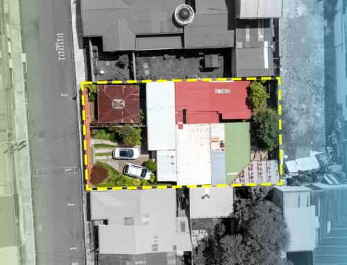
When planning to apply for a permit or a mortgage loan, it’s essential to understand the distribution of buildings. For example, identifying areas with a high concentration of buildings, known as “hot spots,” will help you determine the ideal location for your next project.
Steps to Perform a Geospatial Analysis
- 1
Construction History: Construction permits requested over the years are evaluated to analyze the growth of these permits and identify the predominant types of construction in the area.
- 2
Location Identification: Existing constructions in the territory are located. This step is crucial for identifying hot zones and areas with larger homes.
- 3
Spatial Analysis: The density of construction is determined to zone the development of the area. This analysis considers the type of construction, the region, and even the value of the properties.
- 4
Local Buffers or Hot Zones: After the analysis, buffers are determined within a 100-meter radius around significant constructions. This helps identify the most crowded areas and assess the investment potential in these zones.
- 5Typology: The types of constructions and services within the buffers are analyzed. This includes condominiums, apartments, hotels, supermarkets, and healthcare and education services.
- 6
Coverage: The development of an area and its surroundings is visualized and analyzed. This includes the number of businesses and jobs in the area, as well as typical expenses.
These geospatial studies are conducted by CENFI (Center for Studies of the Financial and Real Estate Business) in collaboration with RIC (República Inmobiliaria Consulting). For more information, you can visit their Facebook page.
If you wish to invest in a new real estate property or plan your next project, do not hesitate to contact our advisors. They will help you choose the property that best suits your needs.